Our Services
_____
-
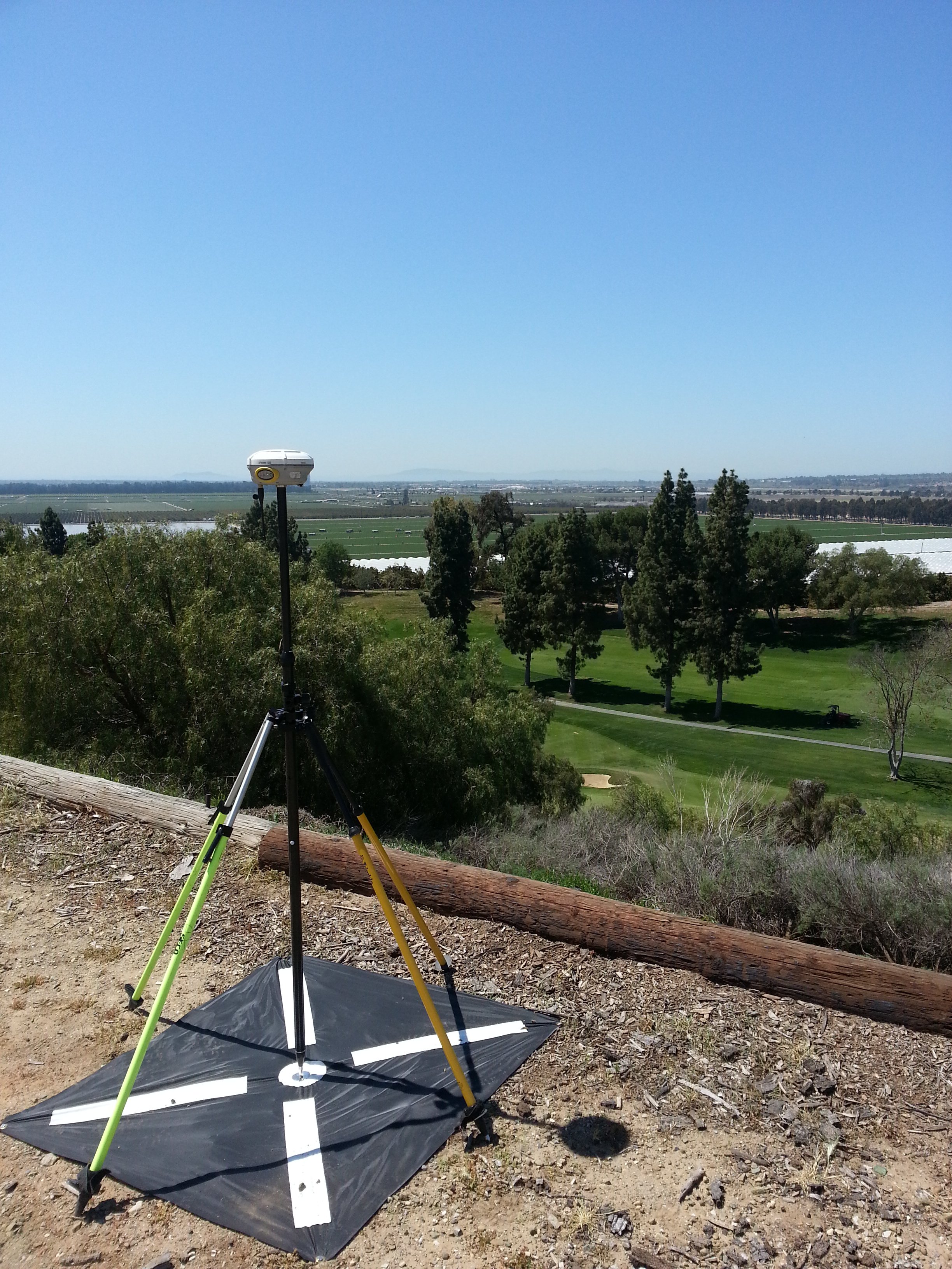
TOPOGRAPHIC DESIGN SURVEYS
* Field Surveys
* Aerial Mapping Surveys / Ground Control
* Surface Modeling
* Complete Civil 3D Data Sets
-
UTILITY COORDINATION
* Coordination with Right of Way and Land Agents
* Public and Private
* Resolve Utility Relocation Conflicts
-
SUBSURFACE UTILITY ENGINEERING (S.U.E.)
* Field Surveys of Designated / Located Features
* ASCE 38-02 Compliant Subsurface Utility Data
* Collecting and Interpreting Utility Records
* Quality Level D to A as the Project Progresses
-
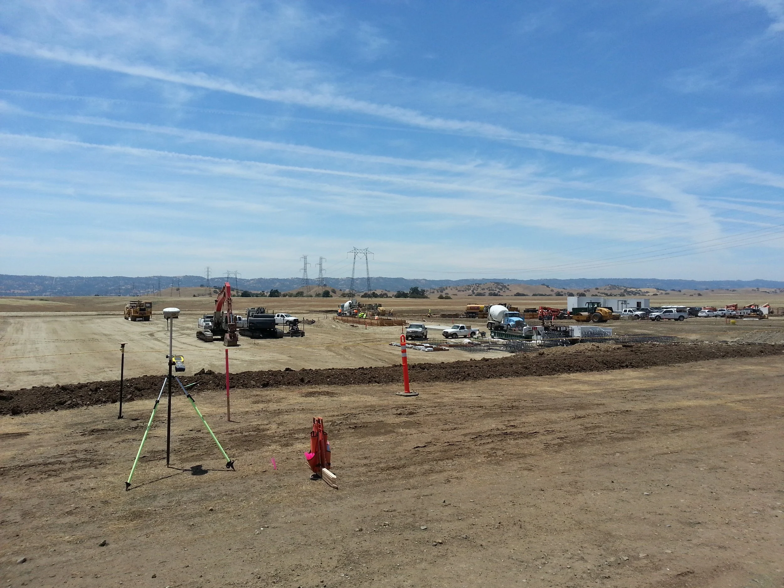
CONSTRUCTION & AS-BUILT SURVEYS
* Construction Staking
* Constructability Review
* Machine Control DTM
* Site Control and GPS Calibrations
* As-Built and Certifications
* Monument Preservation
* Inspection and Observation
* QA/QC Management
* Completion Drawings
* Volume/Quality Verification
-
CADASTRAL, RIGHT OF WAY, AND LAND TITLE
* Boundary Surveys, Land Net Surveys
* Geodetic Control Surveys / Precise Leveling
* Cadastral Right of Way Engineering, Appraisal Maps
* ALTA/NSPS Land Title Surveys
* Chain of Title Research
* Field Reconnaissance and Monument Recovery
* Legal Descriptions
* Record of Survey Maps
* Final and parcel Maps
* Subdivisions, Lot Line Adjustments, Certificates of Compliance
* Tentative Maps and Entitlement Applications
-
GEOSPATIAL
* Integrate Mapping, Imagery, GIS, LIDAR Data
* C3D Deliverables
* Data for Integration into a GIS Database
* Settlement and Deformation Monitoring